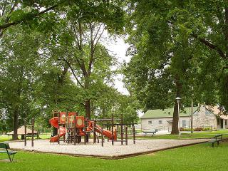
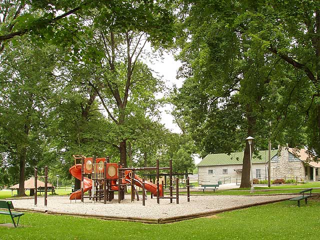
Mary Scott Park
Übersicht


The Mary Scott Park features:
An open air-shelter
Picnic Area
Playground
Originally known as North West Seventh Street Park, Mary Scott Park became the first park located on the west side of Richmond. The history of the park started with the land being originally owned by the Peacock Family. The Peacock Farm extended from North west Fifth Street west to approximately North West Thirteenth Street on the north side of Main Street. The Farm was later broken up as Richmond began to expand west. The area was being developed as the Beeson & Sedgwick Addition. Within the area was a beautiful forest known by the citizens of the area as Middleton’s Woods. (Credit Waynet.org).

Location:
Kommentare
Verbindungen
- Richmond
- Richmond
- Richmond
- Richmond
- Richmond
- Richmond
- Richmond
- Canada
- Brazil
- GainesvilleUnited States
- SarasotaUnited States
- AustinUnited States
- MalmöSweden
- New YorkUnited States
- BarcelonaSpain
- OpsreyUnited States
- MontclairUnited States
- Brazil
- OaklandUnited States
- DecaturUnited States
- Stevens PointUnited States
- United States
- FifeUnited Kingdom
- United Kingdom
-
- Taiwan
- United States
- CardiffUnited Kingdom
- Wisconsin RapidsUnited States
- Staten IslandUnited States
-
- GenèveSwitzerland
Multimedia
Mary Scott Park

Auswirkungen
No impacts have been left for this site yet - be the first!


