Bicycle Sharrows - Wiggens/Hamilton St.
Übersicht

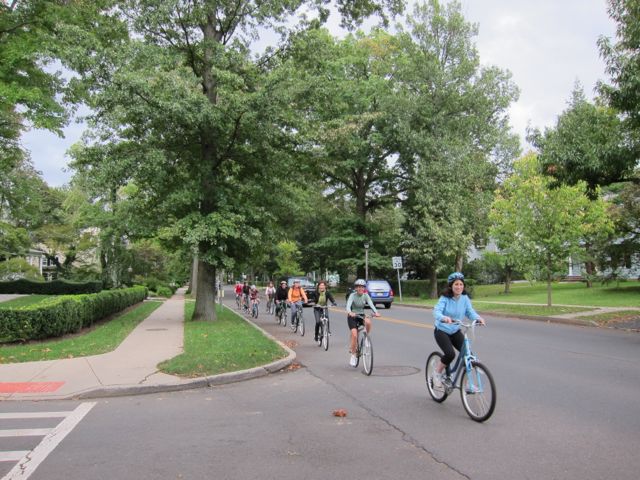
Bicycle sharrows, pavement markers intended to remind cyclists and drivers to share the road, were added to several Princeton streets in 2011. For more information, see the Princeton Joint Bicycle and Pedestrian Advisory Committee website: http://pjpbac.blogspot.com/.

Kommentare
Verbindungen
Compare related sites, explore the related maps, find out about volunteering, how to get here and more. Soon, you will find ways to share this map here, too.
Every site using the same primary Icon on Open Green Map is automatically linked here. You can compare different approaches and solutions on this map and others around the world.
Choose a connections category from the list on the left.
Andere Orte auf der Karte
Ähnliche Orte weltweit
- LondonCanada
- Curitiba
- United States
- United States
-
- St. LouisUnited States
- United Kingdom
- ColumbiavilleUnited States
- United States
- Brazil
- Cluj-NapocaRomania
- United States
- Cluj-NapocaRomania
-
- United States
- United States
- LewisburgUnited States
- United States
- Taiwan
- United States
-
- United States
- United States
- New Hartford
- Portugal
Multimedia

Bicycle Sharrows - Wiggens/Hamilton St.

Auswirkungen


