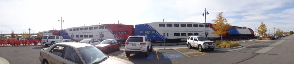
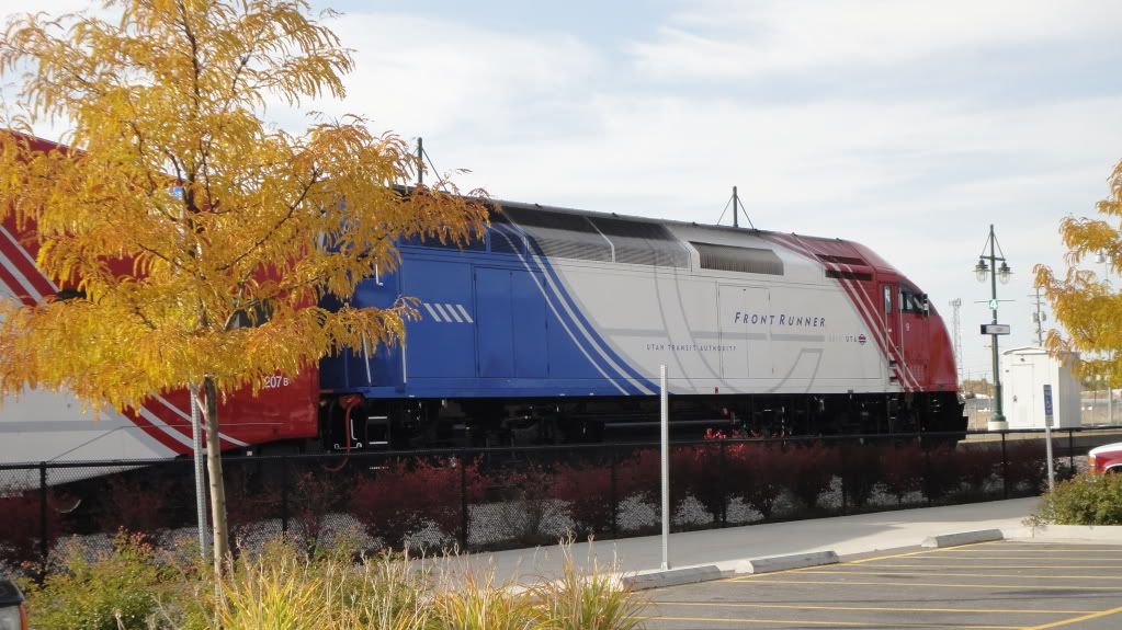
UTA Front Runner Station
![Bus/Tramway pour transit: Streetcar, trolley, light rail line station or stop. Also includes high-speed, express or separated lane Bus Rapid Transit systems. Bus/Tramway pour transit](https://www.opengreenmap.org/sites/default/files/taxonomy_image/category_pictures_38.gif)
![Site pour Cyclistes: Good place to buy, borrow, repair or rent bicycles, work bikes and other kinds of human-powered vehicles. Can indicate bicycling organizations of all kinds, bike-friendly services and sites. Site pour Cyclistes](https://www.opengreenmap.org/sites/default/files/taxonomy_image/category_pictures_32.gif)
![Accessibilité pour fauteuil roulant: Rampes d'accès, rails, ascenseurs et autres installations prévues pour les personnes handicapées. Encourage l'exploration de sentiers et les différents parcs avec cette icône. (Utile pour les poussettes et les cadis également) Accessibilité pour fauteuil roulant](https://www.opengreenmap.org/sites/default/files/taxonomy_image/category_pictures_36.gif)
![Transport Public: Gare de transit ou de métro, arrêt d'autobus ou de tramway. Peut inclure différents modes de transport desservis par un ou plusieurs types de transport public. Transport Public](https://www.opengreenmap.org/sites/default/files/taxonomy_image/category_pictures_37.gif)
![Parking relais: Parking lot with a convenient public transport connection for cars (or bicycles). May include electric vehicle charging spots, carpooling or car sharing resources. Parking relais](https://www.opengreenmap.org/sites/default/files/taxonomy_image/category_pictures_41.gif)
![Zone à risque: Zone où il faut être extrêmement attentif aux dangers environnants, comme les zones à fort trafic, les chantiers de construction ou les infrastructures dangereuses. Peut inclure des endroits peu sûrs que les visiteurs préfèrent connaître. Zone à risque](https://www.opengreenmap.org/sites/default/files/taxonomy_image/category_pictures_43.gif)
Vue d'ensemble
FrontRunner is a commuter rail system operated by the Utah Transit Authority (UTA), serving the northern portion of the Wasatch Front from Salt Lake Central Station to Ogden Union Station, plus more limited service to the final station, Pleasant View. A future expansion will provide access south from Salt Lake City to Provo, Utah, extending the line to a total of 88 miles (142 km)
1-888- RIDE-UTA (743-3882)
Location:
Javascript is required to view this map.
Commentaires
Connections
Compare related sites, explore the related maps, find out about volunteering, how to get here and more. Soon, you will find ways to share this map here, too.
Every site using the same primary Icon on Open Green Map is automatically linked here. You can compare different approaches and solutions on this map and others around the world.
Choose a connections category from the list on the left.
Other Sites on Map
Related Sites Worldwide
- Denver
- HawthorneUnited States
-
- BaltimoreUnited States
- Brazil
- Canada
-
- United States
-
- DavosSwitzerland
-
- Canada
- confignonSwitzerland
-
- Canada
- Brazil
- Canada
- FlorianópolisBrazil
- NatalBrazil
- Canada
- Petit-LancySwitzerland
- Brazil
-
- Canada
-
Multimedia
![](http://i1131.photobucket.com/albums/m547/jopethemetalmessiah/DSC00916.jpg)
UTA Frontrunner
Impacts
No impacts have been left for this site yet - be the first!