赤科山
Vue d'ensemble


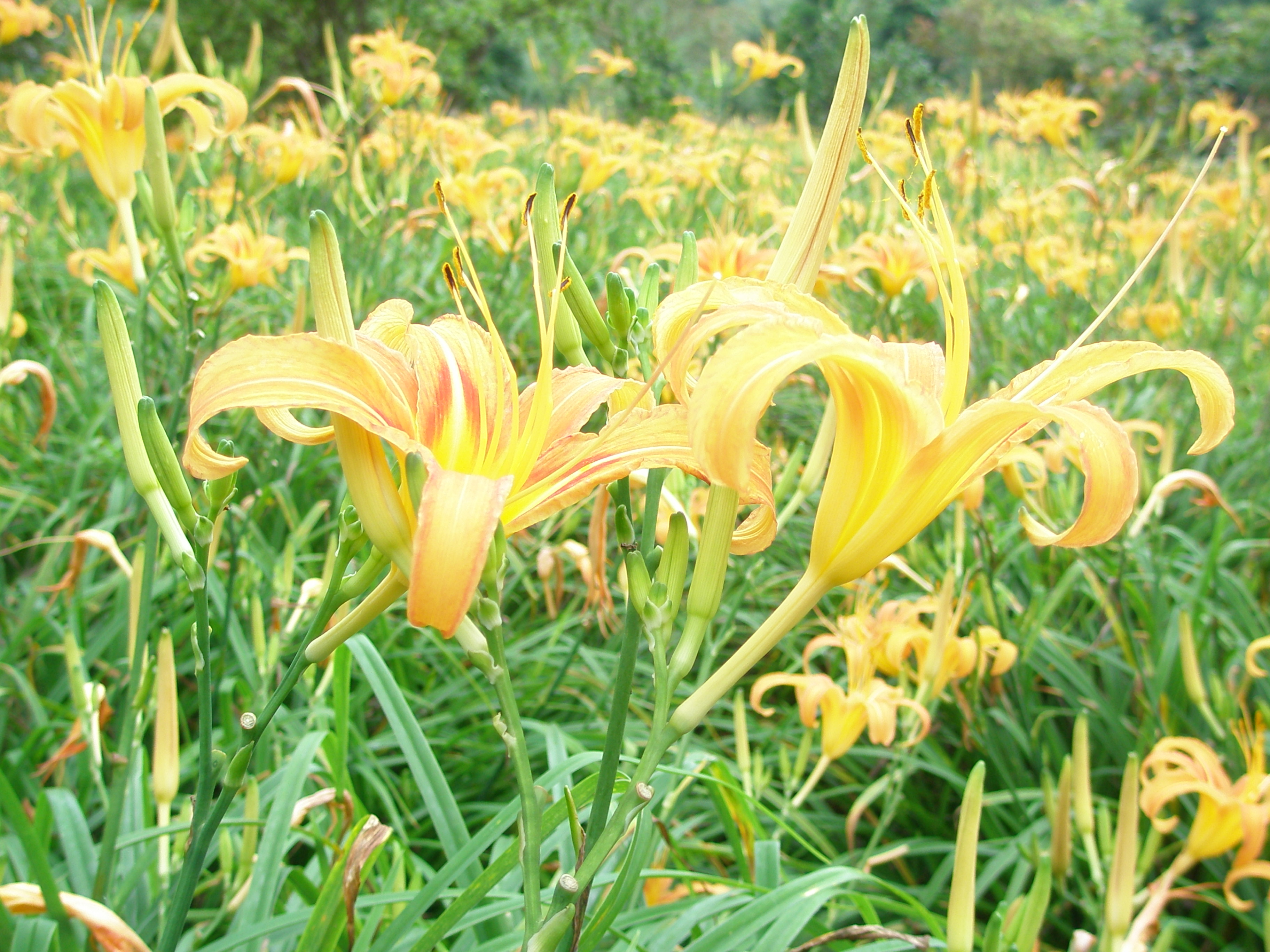
赤科山,位於花蓮玉里鎮的山頭,因曾經遍佈的「赤科」樹而得名。由於常年雲霧繚繞,加上特有的紅壤土,金針反而成為當地最主要農作物,海拔約800公尺的山頭,整齊有致的金針田滿佈於緩坡地上,一下子視覺被眼前的這一片金黃地毯所衝擊,令人經豔。

Location:
Javascript is required to view this map.
Commentaires
Connections
Compare related sites, explore the related maps, find out about volunteering, how to get here and more. Soon, you will find ways to share this map here, too.
Every site using the same primary Icon on Open Green Map is automatically linked here. You can compare different approaches and solutions on this map and others around the world.
Choose a connections category from the list on the left.
Related Sites Worldwide
- DubuqueUnited States
- IthacaUnited States
-
- HaddonfieldUnited States
- United States
- Hong Kong S.A.R., China
- ClevelandUnited States
- BaltimoreUnited States
- United States
-
- BaltimoreUnited States
- United States
- SarasotaUnited States
- DentonUnited States
- AccokeekUnited States
- KloofendalSouth Africa
- RichmondUnited States
- BaltimoreUnited States
- Morehead CityUnited States
- OaklandUnited States
- BaltimoreUnited States
- EnvigadoColombia
- Atlantic BeachUnited States
- Saint Lucia
- United States
Multimedia

赤科山

Impacts
No impacts have been left for this site yet - be the first!


