Bairro Carianos
Florianopolis
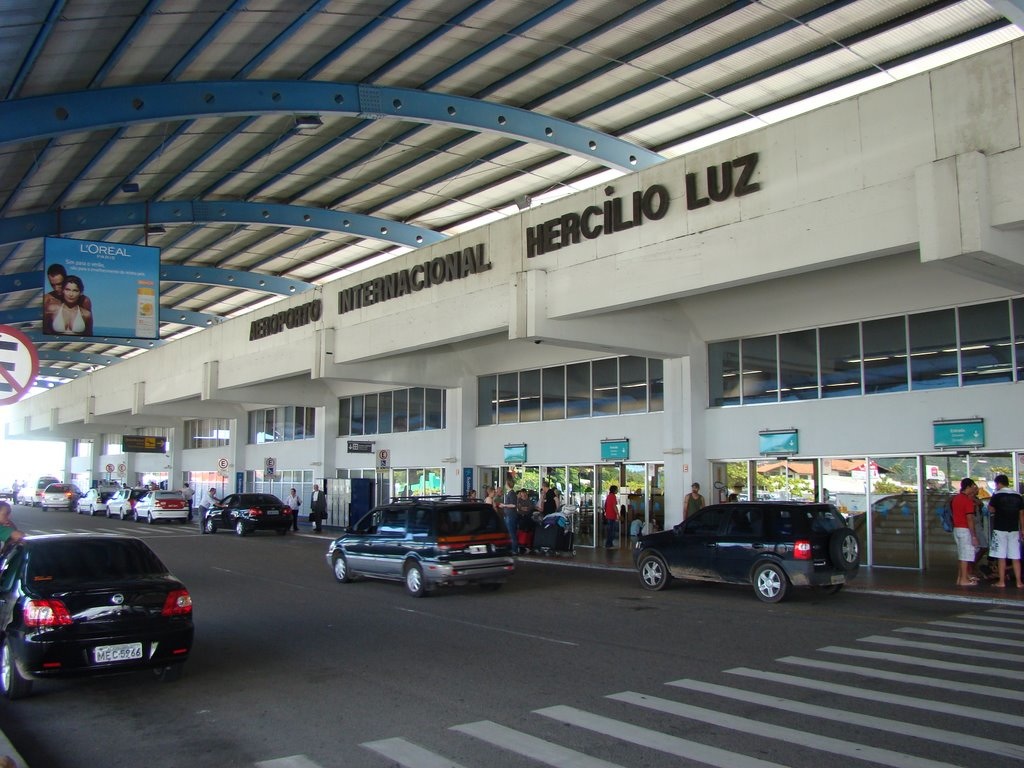
Aeroporto Internacional Hercílio Luz
Visão geral


Aeroporto internacional, principal aeroporto do estado.

Location:
Javascript is required to view this map.
Comentários
Connections
Compare related sites, explore the related maps, find out about volunteering, how to get here and more. Soon, you will find ways to share this map here, too.
Every site using the same primary Icon on Open Green Map is automatically linked here. You can compare different approaches and solutions on this map and others around the world.
Choose a connections category from the list on the left.
Other Sites on Map
Related Sites Worldwide
- Atlantic CityUnited States
- SavoyUnited States
- Cluj-NapocaRomania
- Atlanta, Ga
- South Korea
- taoyuan countyTaiwan
- Atlanta, GA
- SarasotaUnited States
- SingaporeSingapore
- VeniceUnited States
- SarasotaUnited States
-
- Mogi MirimBrazil
- São Jose dos PinhaisBrazil
- Egg Harbor TwpUnited States
- Al AinUnited Arab Emirates
- Cluj-NapocaRomania
- OttawaCanada
- EnvigadoColombia
- GainesvilleUnited States
- Taiwan
- AradRomania
- United Arab Emirates
- Puerto Rico
- VeniceUnited States
Multimedia

Aeroporto Internacional Hercílio Luz

Impacts
No impacts have been left for this site yet - be the first!


