Sourlands Ecosystem Preserve and Trail Network
Overview


Sourlands Ecosystem Preserve and Trail Network
Size: 1,000 acres
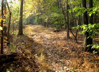
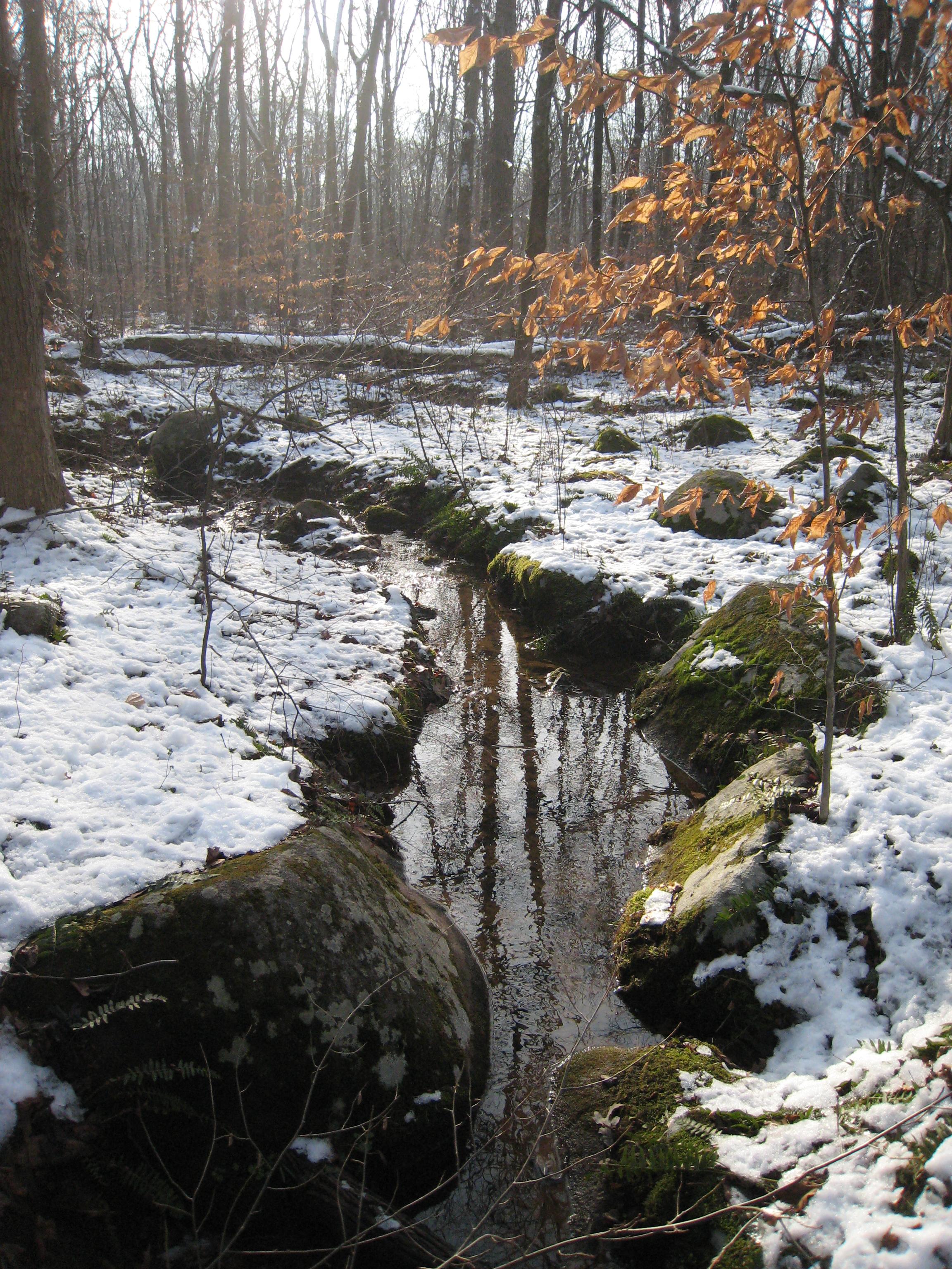
Preserve & Trail Information: 1.3 to 5 miles, easy. The property is part of the larger Sourland Mountain Ecosystem of 90 square miles and 20,000 forested acres. There are over eight miles of trails in the preserve, including the Northern Stony Brook (2.5 miles), Picnic Rock (1.7 miles), Double Crossing (1.1 miles), Featherbed Meadows West (0.75 miles) and Sourlands Foothills (1.1 miles) trail networks. The preserve provides spring and summer breeding habitat for over 70 species of migrant neotropical birds, and habitat for rare medicinal plants once cherished by Native Americans, including bloodroot, black cohosh and Virginia snakeroot. Along the trail, you’ll pass through floodplain forest, young woodlands and open meadows. In the spring, the preserve contains vernal pools, where frog, toad and salamander tadpoles hatch and grow. The headwaters of the Stony Brook are another important freshwater habitat in the Sourlands.
Click here to open our Sourlands Ecosystem brochure, with information about the preserve’s wildlife, history and a map of the trail network: http://drgreenway.org/Documents/Sourlands%20Brochure.pdf
History: The Sourlands property was preserved over a 20 year period beginning in 1992 through a partnership between D&R Greenway, the New Jersey Department of Environmental Protection Green Acres Program, Friends of Hopewell Valley Open Space, Hunterdon, Mercer and Somerset Counties, and the municipalities of East Amwell, Hillsborough, Hopewell, Montgomery and West Amwell.
In 1992, D&R Greenway acquired the McBurney Woods on Mountain Road in East Amwell, in the first project funded by the Green Acres nonprofit matching-grant program. Over the next 20 years, D&R Greenway continued to acquire property in the Sourlands, expanding the protected area and Green Acres created a Sourlands initiative to focus on the region, providing financial assistance to link properties together. Within the larger Sourlands region, D&R Greenway’s vision is to create a 20-mile-long Sourlands Greenway consisting of a mosaic of public and private conserved lands linked by trails and bordered by preserved farms and grasslands in the valleys.
Location: Southwest of Hopewell-Wertsville Road, Hopewell, NJ 08525
Directions: There are four access points to the trail network.
For access to the Northern Stony Brook Trail: From Route 518, turn onto N Greenwood Ave. (Hopewell-Wertsville Rd) and take a left on Mountain Road (your first left after Mountain Church Road). The trailhead and parking will be on your left.
For access to the Picnic Rock and Double Crossing Trails: From Route 518, turn onto N Greenwood Ave. (Hopewell-Wertsville Rd). Parking will be on your right just after you pass the turn for Mountain Church Road on the left.
For access to the Featherbed Meadows West Trail: From Route 518, turn onto N Greenwood Ave. (Hopewell-Wertsville Rd). Turn left on Featherbed Ln. The trailhead and parking will be on your right.
For access to the Sourlands Foothills Trail: From Route 518, turn onto N Greenwood Ave. (Hopewell-Wertsville Rd). The trailhead and parking will be on your right at the intersection of Featherbed Ln and Hopewell-Wertsville Rd.

Location:
Comments
Connections
- United States
-
- New YorkUnited States
- New YorkUnited States
- Copper HarborUnited States
- CardiffUnited Kingdom
- South Korea
- BaltimoreUnited States
- RichmondUnited States
- United States
- United States
- RichmondUnited States
- Canada
- Canada
- South Africa
- VeniceUnited States
- RichmondUnited States
- Brazil
- Longboat KeyUnited States
- IthacaUnited States
- BaltimoreUnited States
- HowickSouth Africa
- Brazil
- taoyuan countyTaiwan
- SquamishCanada
Multimedia
Sourlands Ecosystem Preserve and Trail Network


Impacts
No impacts have been left for this site yet - be the first!


