Island View Beach
このサイトについて

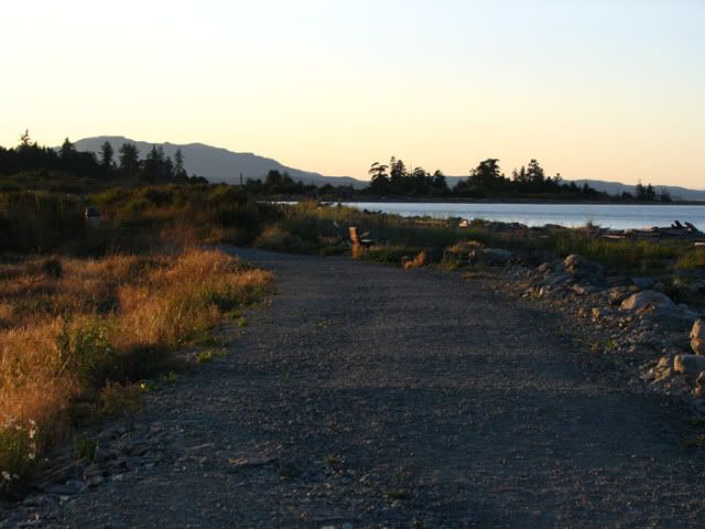
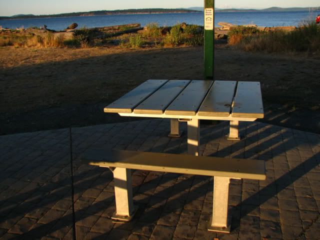
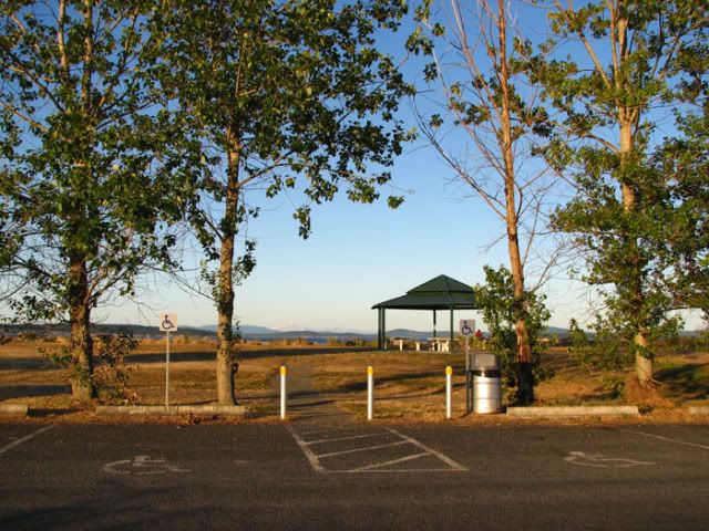
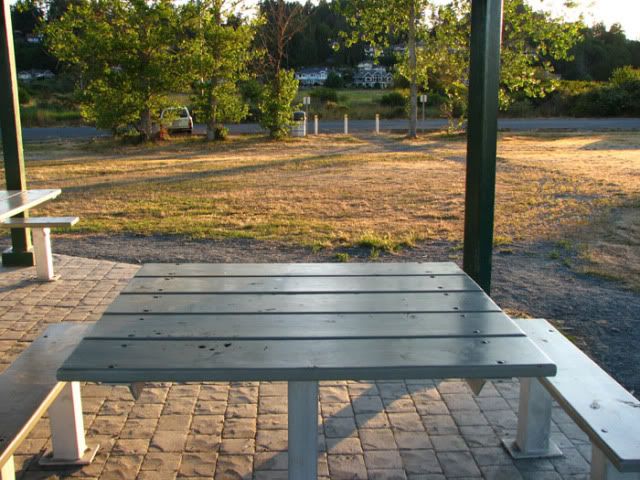
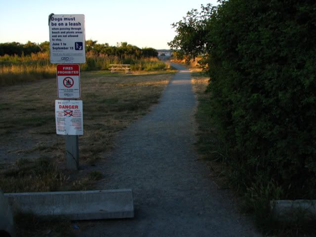
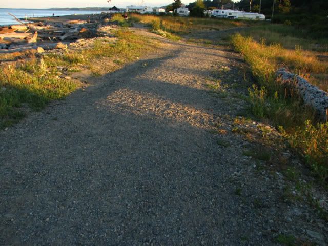
Ocean-side Gravel-aggregate Beach Trails, Benches, Picnic Tables, Disabled Parking, View of Mt Baker, Beach & Sand-dune ecology; 18 km North of Victoria, BC, 2.7 km East of Pat Bay Hwy (bus service to Hwy only)

Location:
Javascript is required to view this map.
コメント
コネクション
ここでは、関連したサイトと比較、地図の探索、ボランティアについてやこのサイトへの行きかたなどがわかります。
このグリーンサイトと同じ第一アイコンを指定しているサイトは自動的にここに表示されます。ここに表示されているほかのサイトを見て比較してみよう。
Choose a connections category from the list on the left.
この地図にある関連サイト
N/A
世界中の関連サイト
- Caliコロンビア
- GainesvilleUnited States
-
- United States
- United States
- New YorkUnited States
- ドイツ
- United States
- South Africa
- EspooFinland
- South Africa
- ポルトガル
- United States
- Cesky KrumlovCzech Republic
- HelsinkiFinland
- North PortUnited States
- Brooklyn
- Baltimore, MDUnited States
- Envigadoコロンビア
- RochesterUnited States
- VeniceUnited States
- Wisconsin RapidsUnited States
- TartuEstonia
- Jersey CityUnited States
- TullibodyUnited Kingdom
マルチメディア
 added by
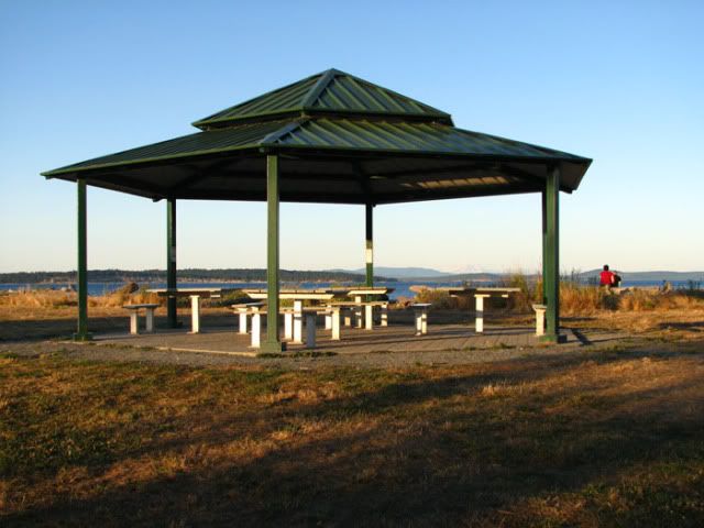
インパクト
まだ誰からもインパクトは報告されていません!一番目になりませんか?


